Mountains, Plateaus, Plains – Features & Formation – Indian Geography
Watch this topic in 60 seconds
Free preview · Lesson 1
Mountains, Plateaus, Plains – Features & Formation – Indian Geography (Foundational)
Mountains, Plateaus, and Plains: India's Landforms!
Hey explorers! Today, we're going on a geographical adventure across India to discover its amazing landforms: mountains, plateaus, and plains. These are the main types of land on Earth, and India has some fantastic examples of each!
What are Landforms?
Landforms are natural features of the Earth's surface. Think of them as the Earth's 'face' – different shapes and sizes that make up our world. Let's explore three major types:
1. Mountains
Mountains are tall, rocky areas of land that rise sharply above the surrounding landscape. They are much higher than the land around them and often have steep slopes.
- Features: High altitude, cold temperatures, rocky terrain, often snow-covered peaks.
- Examples in India: The Himalayas (home to Mount Everest!) are the most famous mountain range. The Aravalli Range is an older, less dramatic mountain range.
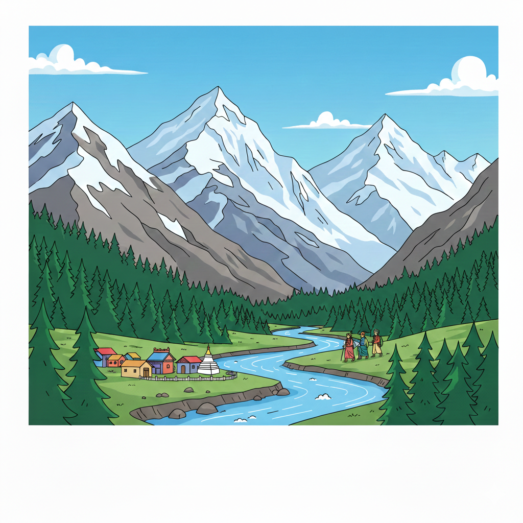 How are Mountains Formed?
Mountains are often formed when the Earth's giant plates collide. Imagine pushing two carpets together – they wrinkle and bunch up, right? Similarly, when plates collide, the land crumples and folds upwards, creating mountains. This is a very slow process that takes millions of years!
2. Plateaus
Plateaus are large, elevated areas of land that are relatively flat on top. They're like giant table tops in the landscape. Sometimes called tablelands.
- Features: Flat or gently rolling top, steep sides, elevated above surrounding areas.
- Examples in India: The Deccan Plateau is a large plateau in southern India. The Chota Nagpur Plateau is another significant plateau region.
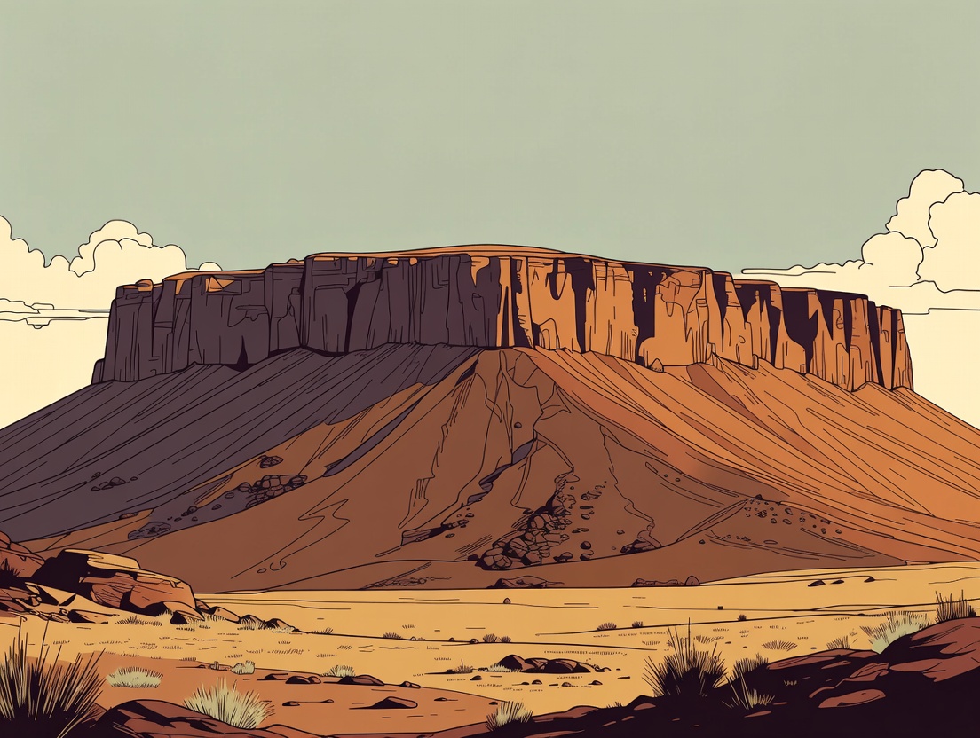 How are Plateaus Formed?
Plateaus can form in several ways. Some are formed by volcanic activity, where lava flows out and hardens into a flat, elevated area. Others are formed by erosion, where rivers and weather gradually wear away the surrounding land, leaving a flat plateau behind.
3. Plains
Plains are large, flat or gently rolling areas of land with low elevation. They are usually found at lower altitudes.
- Features: Flat surface, fertile soil, often near rivers, good for farming.
- Examples in India: The Indo-Gangetic Plain is a vast plain that stretches across northern and eastern India, created by the Indus and Ganges rivers.
How are Plains Formed?
Plains are often formed by rivers depositing sediment (like sand and mud) over long periods. The rivers carry sediment from the mountains and hills and spread it out across the land, creating a flat, fertile plain. These plains are great for growing crops!
Keep learning, free
Create a free Syllabax account to unlock practice questions and games for this topic.
Visual Learning Enhanced! 🚀
To help you master this topic, we use Advanced Syllabax AI to generate detailed diagrams and visual models.
Note on Visuals: The AI sometimes makes spelling errors in image labels. Please refer to the lesson text for the correct terminology.