Understanding maps & directions (Real-Life Math)
Watch this topic in 60 seconds
Free preview · Lesson 1
Understanding Understanding maps & directions (Real-Life Math)
Adventures in Mapping: Your Guide to Understanding Maps and Directions!
Imagine you're an explorer, ready to discover new lands! How do you know where to go? You use a map, of course! Maps are like secret treasure guides that help us find our way around our world, whether it's your classroom, your neighborhood, or even the whole planet.
What is a Map? A Tiny World on Paper!
A map is a drawing of a place. Think of it like a bird's-eye view – what you would see if you were flying high up in the sky and looking down. It shows us where things are in relation to each other. It’s like a super-simplified version of reality, showing us the most important things we need to know to get from one place to another.
Why are Maps Important? Your Navigational Superpower!
Maps are super useful! They help us:
- Find our way: If you want to visit a friend's house for the first time, a map can guide you.
- Understand places: Maps can show us where countries are, how big they are, and where cities are located.
- Plan trips: When planning a vacation, maps help us see how far places are and the best routes to take.
- Learn about the world: Maps show us mountains, rivers, oceans, and deserts – all from your desk!
Key Parts of a Map: The Map's Secret Code!
Maps have special parts that help us read them. Let's learn about them:
1. The Title: What Place Is This?
Every good map has a title. The title tells you what place the map is showing. It's like the name tag of the map. If the title says "Map of My Neighborhood," you know you're looking at drawings of streets and houses near where you live.
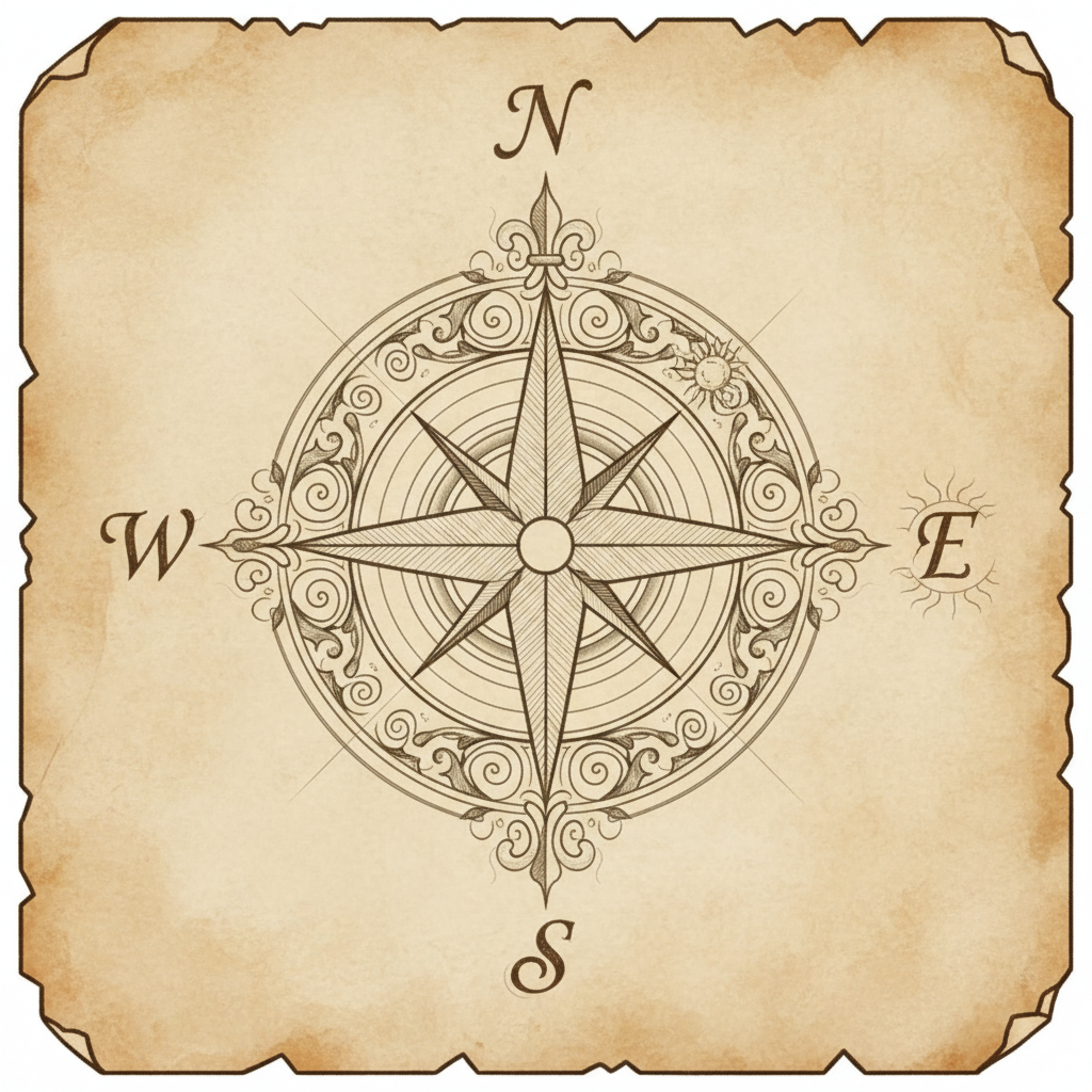
2. The Compass Rose: Finding Your North, South, East, and West!
Have you ever heard someone say, "Turn left at the big oak tree and go north"? The compass rose helps us understand directions. It's a symbol on the map that shows us the four main directions: North (N), South (S), East (E), and West (W).
Think of it like a magical pointer! 'N' always points to the top of the map, 'S' to the bottom, 'E' to the right, and 'W' to the left. Most compass roses also show the intermediate directions like Northeast (NE), Southeast (SE), Southwest (SW), and Northwest (NW), which are in between the main ones. It's like having a built-in GPS!
3. The Legend (or Key): What Do the Symbols Mean?
Maps use symbols instead of drawing everything out perfectly. A symbol is a small picture or shape that stands for something in the real world. The legend, also called a key, is a box on the map that explains what each symbol means. It’s like a secret decoder ring for the map!
For example, a small blue line might represent a river, a small drawing of a tree might show a forest, and a little red square could be a school. Without the legend, those symbols would just be confusing little drawings!
Analogy: Imagine you're trying to understand a secret message written in code. The legend is like the codebook that tells you what each symbol in the message means.
4. Scale: How Far Is It Really?
The world is huge! Maps have to make big places look small on paper. The scale tells us how much the real world has been shrunk down to fit on the map. It's like a ruler for the map.
For example, a map might say that 1 inch on the map represents 1 mile in real life. So, if you measure 2 inches between two places on the map, you know they are actually 2 miles apart in the real world. This helps us understand distances.
Analogy: Think about playing with toy cars. The toy car isn't as big as a real car, but it's shaped like one and shows us what a real car looks like. The scale on a map is similar – it shows us how much smaller the map is than the real place.
Types of Maps: Different Maps for Different Adventures!
There are many kinds of maps, each showing different things:
- Physical Maps: These maps show the natural features of the Earth, like mountains, rivers, and deserts. They show you what the land looks like.
- Political Maps: These maps show boundaries, like the borders between countries or states. They show you where one place ends and another begins.
- Road Maps: These are very useful for drivers! They show roads, highways, and sometimes even important buildings.
- Thematic Maps: These maps focus on one specific topic, like rainfall in an area or population density.
Directions: How to Get From Here to There!
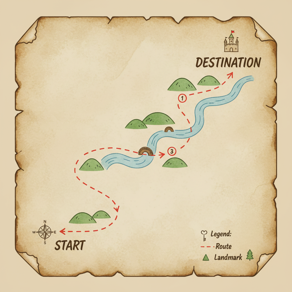
Maps are great for showing us where things are, but directions tell us how to move between them. Directions are like step-by-step instructions for a journey.
Cardinal Directions: The Big Four!
We already met these with the compass rose: North, South, East, and West. These are the main directions and are very important for giving and following directions.
Giving and Following Directions: A Step-by-Step Journey!
When giving directions, you usually start from where you are and explain the path to your destination. You might say:
- "Go straight for two blocks."
- "Turn left at the traffic light."
- "Walk east until you see the big red mailbox."
- "The park is on your right, just past the blue house."
Analogy: Giving directions is like telling someone how to build with LEGOs. You give them a set of instructions in order, so they can build the same thing you did.
Putting It All Together: Your First Map Adventure!
Now that you know the basics, you can start using maps! Look at a map of your town or city. Can you find the title? Where is the compass rose? What do the symbols in the legend represent? Can you find your school or your home on the map? Try to trace a route from your home to the park using the directions and the map's scale.
Understanding maps and directions is a real-life skill that will help you explore the world around you, just like a seasoned adventurer!
Keep learning, free
Create a free Syllabax account to unlock practice questions and games for this topic.
Visual Learning Enhanced! 🚀
To help you master this topic, we use Advanced Syllabax AI to generate detailed diagrams and visual models.
Note on Visuals: The AI sometimes makes spelling errors in image labels. Please refer to the lesson text for the correct terminology.