India’s Major Physiographic Divisions (detailed) – Indian Geography
Watch this topic in 60 seconds
Free preview · Lesson 1
India’s Major Physiographic Divisions (detailed) – Indian Geography (Foundational)
India's Major Physiographic Divisions
India is a land of diverse physical features. These features have a significant impact on the climate, agriculture, and lifestyle of the people. We can divide India into six major physiographic divisions:
1. The Northern Mountains (The Himalayas)
The Himalayas are young fold mountains. They are the highest and most rugged mountain barrier in the world. They stretch from west to east along India's northern border.
Key Features:
- Height: Highest mountains in the world.
- Formation: Formed by the collision of the Indo-Australian and Eurasian plates.
- Divisions:
- The Greater Himalayas (Himadri): Continuous and highest range. Average height is 6,000 meters. Contains major glaciers.
- The Lesser Himalayas (Himachal): Lies south of the Himadri. Most rugged mountain system. Altitude varies between 3,700 and 4,500 meters.
- The Outer Himalayas (Shiwaliks): Southernmost range. Altitude varies between 900 and 1,100 meters. Composed of unconsolidated sediments.
2. The Northern Plains
The Northern Plains lie south of the Himalayas. They are formed by the alluvial deposits brought down by the rivers Indus, Ganga, and Brahmaputra and their tributaries.
Key Features:
- Formation: Formed by alluvial deposits.
- Rivers: Indus, Ganga, Brahmaputra and their tributaries.
- Fertility: Very fertile and suitable for agriculture.
- Divisions:
- Bhabar: A narrow belt of pebbles and gravels lying at the foot of the Shiwaliks.
- Terai: A marshy and densely forested region south of the Bhabar.
- Bangar: Older alluvial plains.
- Khadar: Newer, younger alluvial plains.
3. The Peninsular Plateau
The Peninsular Plateau is a tableland composed of old crystalline, igneous and metamorphic rocks. It is one of the oldest landforms of India.
Key Features:
- Formation: Composed of old crystalline, igneous, and metamorphic rocks.
- Location: South of the Northern Plains.
- Rivers: Narmada, Tapi, Godavari, Krishna, Kaveri.
- Divisions:
- The Central Highlands: North of the Narmada River.
- The Deccan Plateau: South of the Narmada River.
4. The Indian Desert
The Indian Desert lies towards the western margin of the Aravali Hills. It is an undulating sandy plain covered with sand dunes.
Key Features:
- Location: Western margin of the Aravali Hills.
- Climate: Low rainfall and high temperatures.
- Vegetation: Sparse vegetation.
5. The Coastal Plains
The Coastal Plains lie along the coasts of India. They are divided into the Western Coastal Plains and the Eastern Coastal Plains.
Key Features:
- Western Coastal Plains: Located between the Western Ghats and the Arabian Sea. Narrower than the Eastern Coastal Plains. Divided into Konkan coast, Kannad plain and Malabar coast.
- Eastern Coastal Plains: Located between the Eastern Ghats and the Bay of Bengal. Broader than the Western Coastal Plains. Divided into Coromandel Coast and Northern Circars.
6. The Islands
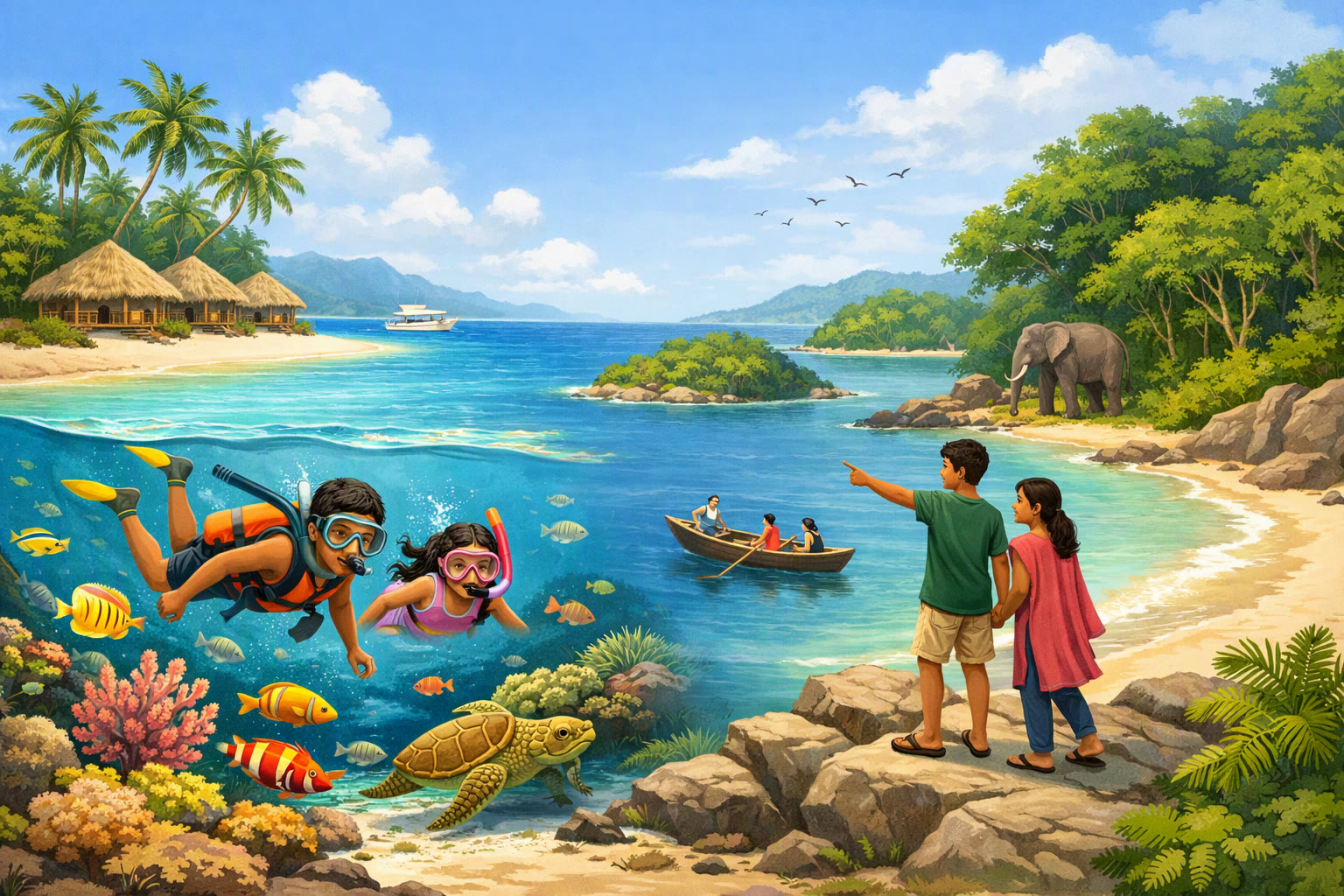
India has two major island groups: Lakshadweep and Andaman & Nicobar Islands.
Key Features:
- Lakshadweep Islands: Located in the Arabian Sea. Composed of coral deposits.
- Andaman & Nicobar Islands: Located in the Bay of Bengal. Larger in size and more numerous.
Keep learning, free
Create a free Syllabax account to unlock practice questions and games for this topic.
Visual Learning Enhanced! 🚀
To help you master this topic, we use Advanced Syllabax AI to generate detailed diagrams and visual models.
Note on Visuals: The AI sometimes makes spelling errors in image labels. Please refer to the lesson text for the correct terminology.