Understanding Maps: Scale, Symbols – World Geography
Watch this topic in 60 seconds
Free preview · Lesson 1
Understanding Maps: Scale, Symbols – World Geography (Foundational)
Understanding Maps: Scale, Symbols – World Geography (Foundational)
Hey there, future explorers! Ever wondered how we fit the whole world onto a piece of paper? It's all thanks to maps! This lesson will teach you the basics of understanding maps, focusing on two important things: scale and symbols.
What is a Map?
A map is a drawing that shows a part of the Earth’s surface. Maps help us find places, understand distances, and learn about different areas. Think of it like a miniature version of the real world!
Map Scale: Making the World Smaller
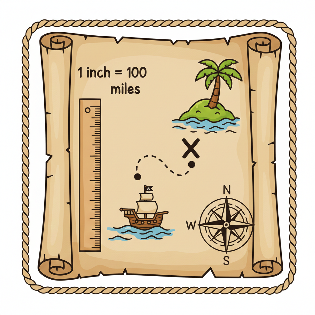
Imagine trying to draw a football field on a tiny piece of paper. You couldn't draw it the same size, right? That's where map scale comes in.
- Scale: The scale of a map tells you how much smaller the map is compared to the real world.
- It's usually shown as a ratio (like 1:100) or a line.
- Example: A scale of 1:100 means that 1 centimeter on the map represents 100 centimeters (or 1 meter) in the real world.
So, if a road is 5 cm long on a map with a scale of 1:1000, the actual road is 5000 cm (or 50 meters) long!
 Map Symbols: A Secret Language
Maps are full of pictures and shapes, but they're not just doodles! These are called symbols, and they represent real things.
- Symbols: Pictures or signs on a map that stand for real-world features like cities, rivers, mountains, or roads.
- They help us understand what's on the map without having to write long descriptions.
- Example: A small star might represent a capital city. A blue line usually represents a river.
Different maps use different symbols, but most maps have a legend (or key) that explains what each symbol means. Always check the legend first!
World Geography Basics
Now, let's touch on some basic geography! Our Earth is divided into:
- Continents: Large landmasses (like Africa, Asia, Europe, North America, South America, Australia, and Antarctica).
- Oceans: Large bodies of saltwater (like the Pacific Ocean, Atlantic Ocean, Indian Ocean, Arctic Ocean, and Southern Ocean).
- Countries: Areas with defined borders and their own governments.
Maps help us locate these continents, oceans, and countries and understand their relationship to each other.
Keep learning, free
Create a free Syllabax account to unlock practice questions and games for this topic.
Visual Learning Enhanced! 🚀
To help you master this topic, we use Advanced Syllabax AI to generate detailed diagrams and visual models.
Note on Visuals: The AI sometimes makes spelling errors in image labels. Please refer to the lesson text for the correct terminology.